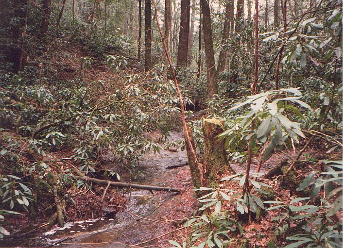
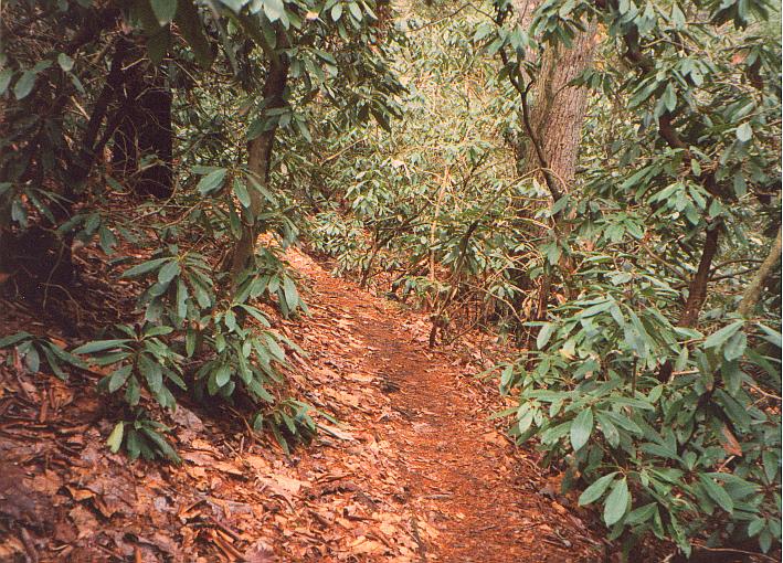
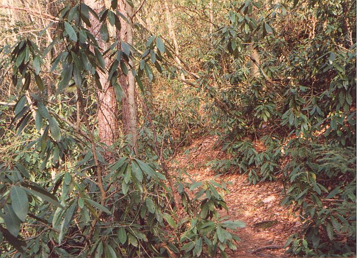
Rododendrum overgrowth!
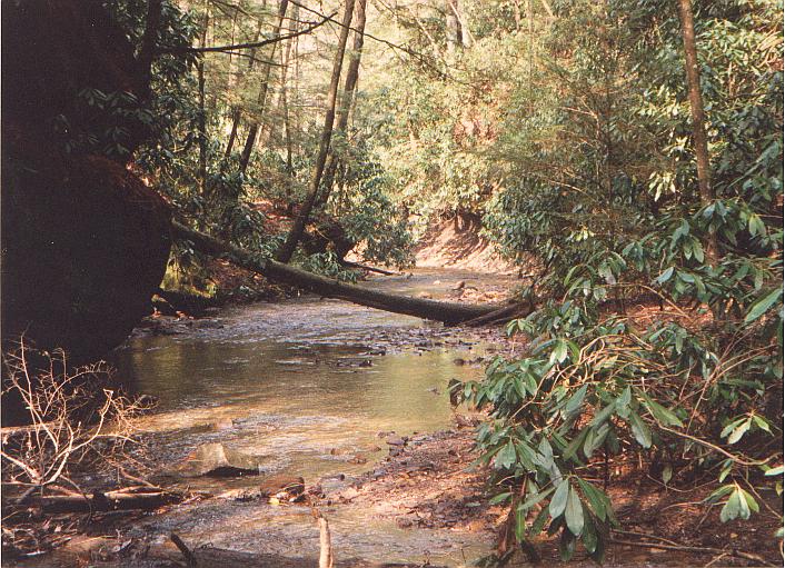
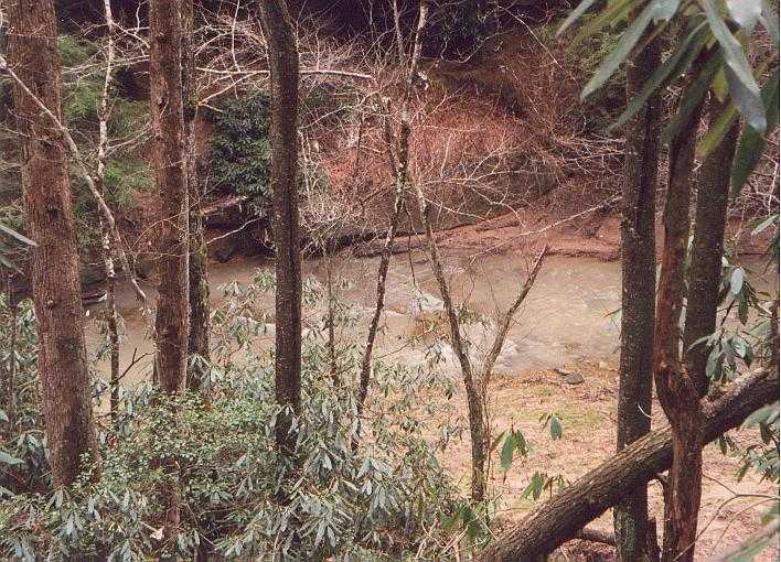
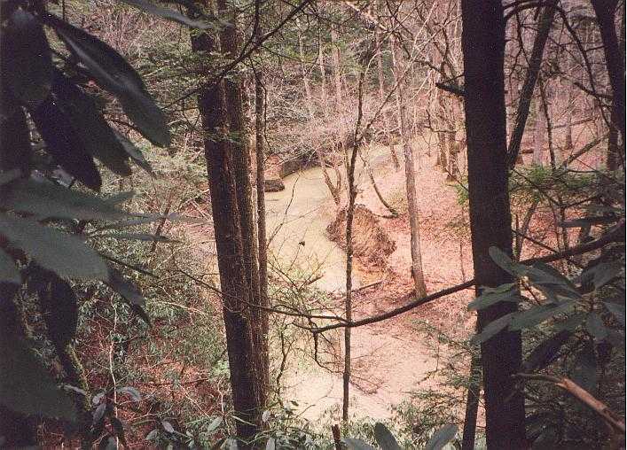
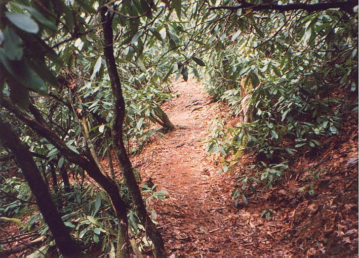
"Dog Fork"
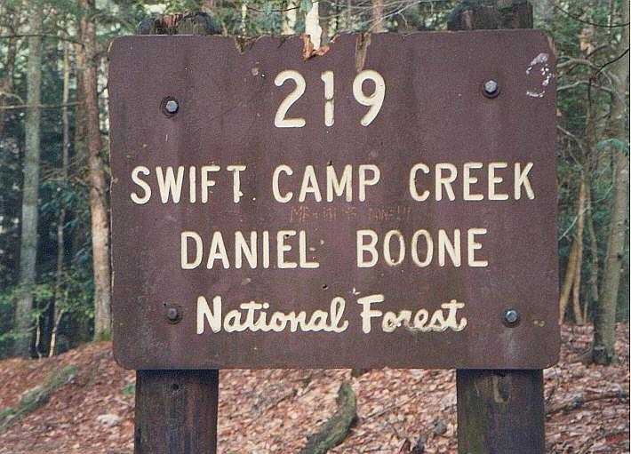
Trail #219, known as the "Swift Creek Trail", is one of the longer trails in the Red River Gorge area at around 7 miles. It is located at the bottom right corner of the Red River Gorge map. I think this is the most difficult trail in the Red River Gorge/Natural Bridge area. This is not a loop trail so you can either use the trailhead on Highway 715 or the junction midway through the Rock Bridge trail. I recommend the latter. Count on at least 5 hours to cover the entire trail one-way.
ASIDE: Actually, it's possible to "build" a loop trail out of Swift Creek and Wildcat Trail (#228). To do this, you can start out at the Swift Creek trailhead on Highway 715 (the opposite end of the trail from the Rock Bridge Trail junction). Then take the Wildcat Trail (an easier trail) back out to the highway. Finally, you'll have to walk along the highway back to the Swift Creek trailhead. Kirsten and I have done this "loop". It takes 3 or 4 hours and you get to avoid the hardest parts of Swift Creek Trail. The downside is that this part of the Swift Creek trail isn't terribly interesting and you'll miss out on the neat things the other part of the trail offers...like the arches and Hell's Kitchen.
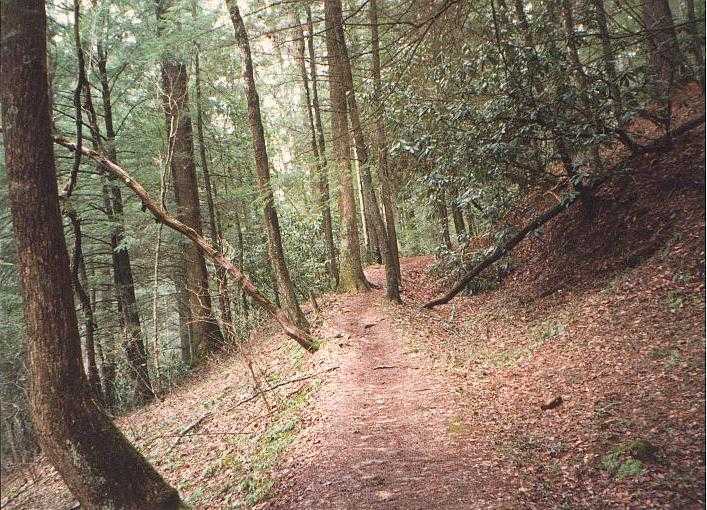
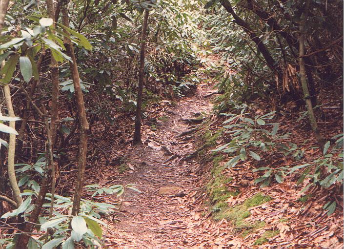
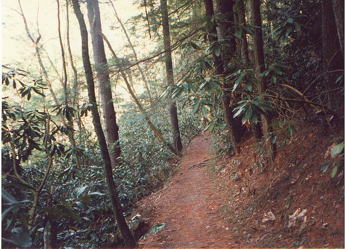
The difficulty with the Swift Creek trail is not just its length (there are longer trails in the area which are actually easier). What's hard about this trail is the numerous steep little ravines you have to climb down and up. Once you're on this trail, there are no junctions to other trails until you reach the Wildcat Trail (#228). Because of this, you probably won't see many other people on the trail. I've been here four times and I've seen maybe half a dozen other people total.
Like I mentioned in the aside, the part of the trail between Rock Bridge Trail and Wildcat Trail junction has numerous formations to make it worth hiking. You'll notice on the map that there are two arches - Timmon's Arch and Turtle Back Arch. Neither of these are visible from the Swift Creek trail. The path to Turtle Back Arch is not far from the trail (though the path is not marked). Timmon's Arch is supposedly very hard to find. It's named after its discoverer who was searching for John Swift's lost silver mine. As one author writes, Timmon's arch is "about as hard to find as the legendary mine..."
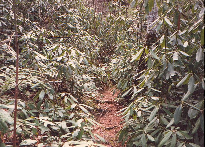
Another feature of this trail, more than most other trails in the area, is the number of rododendrum plants you'll encounter. As some of the pictures suggest, some are anywhere from 8 to 12 feet high. The first time I saw rododendrums this size I was amazed. My parents had one in the backyard that never grew more than a few feet high.
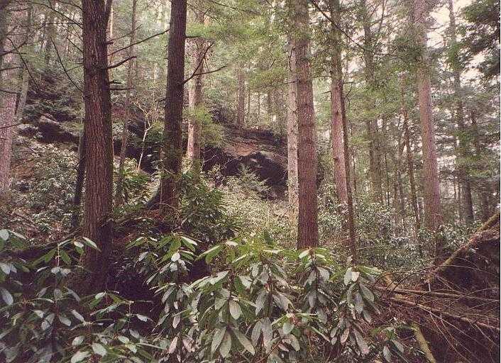
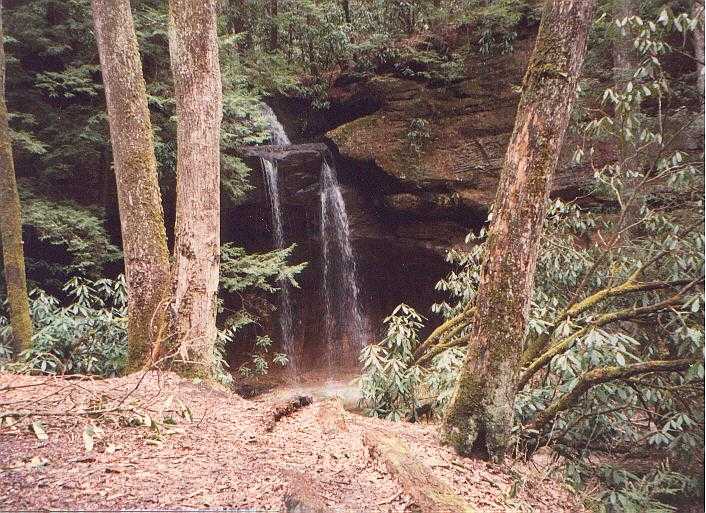
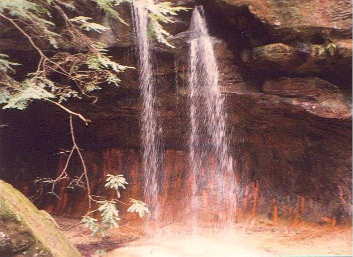
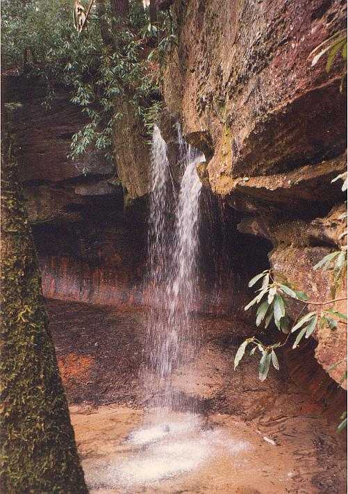
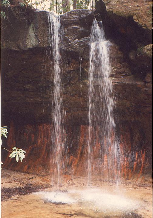
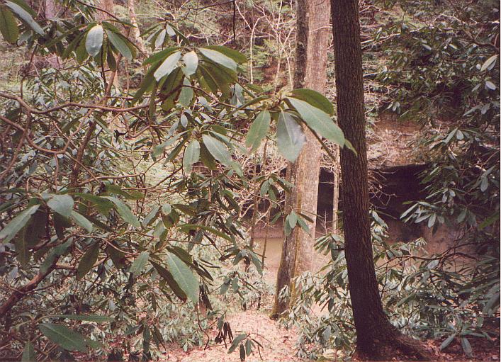
A few of the following images are of a rock formation that I thought was "Hell's Kitchen" when I took the photos. But actually, Hell's Kitchen is located on Swift Creek itself and this formation is not. The reddish-orange color is presumably rust. (Anybody know for sure? Drop me a line.) It turns out there are at least two of these formations along the trail. If you're not careful, you can mistake one for the other and thus wrongly estimate your location.
|
|
|
|
|
|
|
|
|
|
|
|
|
|
|
|
|
|
|
|
|
|
|
Rododendrum overgrowth! |
|
|
|
"Dog Fork" |
Questions or comments? Drop me a line.